Magnitude vs. Intensity: The Two Numbers Every Earthquake Gets
The morning after an earthquake, two kinds of numbers show up in the reporting. One is a magnitude, a single decimal like 5.8. The other arrives as Roman numerals on a colored map, or as a line like “light shaking reported in Richmond.” People tend to read them as two versions of the same thing, and they aren’t. They answer two different questions.
Magnitude is about the earthquake. Intensity is about a place. An earthquake has one magnitude. It has a different intensity at every address its waves reach.
Magnitude: how big the rupture was
An earthquake is a fault slipping: two blocks of rock that were stuck together lurch past each other, releasing strain that built up over decades or centuries. Magnitude is a measure of how big that event was, and it is the same number whether you are standing on the fault or reading about it on another continent.
The name everyone knows is Charles Richter’s. In 1935 he published a magnitude scale for Southern California, based on how far the needle of a particular kind of seismograph swung at a known distance. It worked well for the small and moderate quakes it was built for, and poorly for very large ones, which it tends to underrate. So seismologists moved on. The USGS now reports large earthquakes, and many moderate ones, as moment magnitude, which is calculated from the physical size of the rupture: the area of fault that slipped, how far it moved, and how stiff the rock is. The scale was designed to match Richter’s numbers over the range where his worked, which is why “Richter scale” survives in headlines long after it stopped being what anyone measures.
The part that trips people up is that magnitude is logarithmic. Each whole step up means about ten times more ground motion on a seismogram and about 32 times more energy. A magnitude 7 releases about 32 times the energy of a 6, and about a thousand times the energy of a 5. A 9 releases roughly a million times the energy of a 5. The largest earthquake ever recorded by instruments, in Valdivia, Chile, in 1960, was a 9.5. The gap between “a 5” and “a 7” in a headline is much bigger than two.
Magnitude also gets revised. The first number the USGS posts is a fast estimate from the nearest stations, and it is refined over the following minutes and hours as waves reach instruments around the world. A few tenths of change is routine. It is not the survey changing its mind; it is the measurement finishing.
Intensity: what the shaking did here
Intensity is a measure of shaking at one location, described by its effects: on people, on the things in their houses, and on the houses themselves. The scale used in the United States is the Modified Mercalli Intensity scale, written in Roman numerals so that nobody mistakes it for a magnitude.
The USGS attaches a short word to each level, and the words are the useful part:
- I, Not felt. Not felt except by a very few people under especially favorable conditions.
- II–III, Weak. Noticed indoors by some people, especially upstairs; often likened to a passing truck.
- IV, Light. Felt indoors by many. Dishes, windows and doors rattle.
- V, Moderate. Felt by nearly everyone. Small objects are knocked over.
- VI, Strong. Felt by everyone. People walk unsteadily, and there is slight damage.
- VII, Very strong. Hard to stand. Damage to poorly built buildings.
- VIII, Severe. Considerable damage to ordinary buildings.
- IX, Violent. Heavy damage, even to well-built structures.
- X and above, Extreme. Most masonry and frame structures destroyed.
The classic scale runs to XII, but the maps the USGS generates from instruments stop at X+, because recorded ground motion alone can’t tell the highest levels apart, and the USGS no longer assigns XI or XII at all.
One earthquake paints a whole map of these numbers. It is usually highest near the epicenter and fades with distance, the way the ripples from a stone get smaller as they spread. A magnitude 6 can be VIII in the town above it, IV an hour’s drive away, and I three states over, all at once.
Where the Roman numerals come from
For any sizable earthquake, the USGS publishes intensity from two very different sources, and it is worth knowing which is which.
“Did You Feel It?” is the crowd. People fill in a short online questionnaire about what they noticed (whether they woke up, whether pictures swung on the wall, whether anything fell) and the USGS turns the answers into an intensity for each ZIP code or neighborhood. It is remarkably good, and it reaches places no instrument covers.
ShakeMap is mostly the instruments. It starts from what seismic stations actually recorded near the earthquake, fills the gaps between stations with ground-motion models and felt reports, adjusts for local ground conditions, and converts the result into the same intensity scale so the two can be compared.
There is a third source, and it is the one you get when nobody near you has reported anything: a model. Seismologists have fitted equations that predict intensity from a quake’s magnitude, its distance from a place, and its depth. They are good on average and honest about their spread, typically about one intensity level either way, and they cannot know what your particular house is built on. An intensity from a model is an estimate, and should be labeled as one.
Why depth and geology change the picture
Two earthquakes with the same magnitude can feel completely different, and the reasons are mostly depth and rock.
Depth is the simplest. A shallow earthquake releases its energy close to the surface, right under the people who will feel it. A deep one, hundreds of kilometers down in a sinking slab of ocean floor, spreads that energy out before it reaches anyone, so a large magnitude can produce surprisingly gentle shaking overhead, felt instead across a very wide area.
Geology is the one that surprises people in the eastern half of the country. The crust east of the Rockies is old, cold and relatively unbroken, and it carries seismic waves much farther than the younger, more fractured crust of the West. When a magnitude 5.8 struck near Mineral, Virginia, in August 2011, it was felt from Georgia to Canada, and it was likely felt by more people than any other earthquake in U.S. history. A quake of that size in California is typically felt across a far smaller area. The New Madrid earthquakes of 1811 and 1812, in the Mississippi Valley, were felt across much of the eastern United States for the same reason.
Soil matters too. Soft sediment and fill amplify shaking, which is why a neighborhood built on reclaimed bay mud can see a higher intensity than a hillside a mile away.
The same words, two scales
One more trap. Magnitudes also get names, in a convention seismic networks and news reports share: Minor in the 3s, Light in the 4s, Moderate in the 5s, Strong in the 6s, Major in the 7s and Great at 8 and above. Several of those words also appear on the intensity scale, meaning something else.
So a “moderate earthquake,” which is a statement about magnitude, can produce “strong shaking,” which is a statement about intensity, in the town above it. Both sentences can be true at once, and a reader who assumes they are on the same scale will come away confused about how bad it was.
The fix is to notice which question a word is answering. If it describes the earthquake, it is magnitude. If it describes what happened somewhere, it is intensity.
How Seismic Sentinel uses both
Seismic Sentinel is built around exactly this distinction, and it keeps the two kinds of words apart on purpose: it never puts a magnitude word and a shaking word on the same screen.
The magnitude screens, like the home screen’s headline quake and the week’s list of M4.5 and larger, describe earthquakes. The Felt Here screen describes where you live. It runs a published intensity model (Allen, Wald and Worden, 2012) for the city or ZIP code you gave it at setup, finds the quake it holds that most likely shook you hardest, and describes that shaking in the USGS words from the list above, always marked EST. It only calls a quake felt when the estimate reaches III, because below that the model’s own uncertainty is wide enough to include no shaking at all. When you tap a quake, it shows its estimate for your location beside the “Did You Feel It?” reports and ShakeMap readings from near the epicenter, each labeled with where it applies. And when a quake is too deep or too far away for the model to say anything honest, the screen says so instead of printing a zero.
Its what-if simulator, Drop a Quake, carries the geology caveat too: drop a hypothetical quake in the central or eastern U.S. and the screen adds an orange note that real shaking there tends to carry farther than the model assumes.
The whole thing, in four lines
- Magnitude is one number for the whole earthquake: how big the rupture was.
- Intensity is a Roman numeral for one place: how hard it shook there.
- Each step of magnitude is about 32 times the energy; intensity fades with distance and depends on depth and ground.
- “Moderate earthquake” and “moderate shaking” are different scales that happen to share a word.
Keep those straight and the next earthquake report reads differently. The magnitude tells you what happened under the ground. The intensity tells you what it meant for the people standing on it.
QUICK ANSWERS
Fair questions
What is the difference between magnitude and intensity in one sentence?
Magnitude describes the earthquake and intensity describes a place. An earthquake has one magnitude, a measure of how big the rupture was, and a different intensity at every town it reaches, a measure of how hard the ground shook there and what that shaking did to people and buildings.
Is the Richter scale still used?
Mostly in name. Charles Richter’s 1935 scale was built for small and moderate earthquakes in Southern California, and it stops growing properly for large ones. The USGS now reports large earthquakes, and many moderate ones, using moment magnitude, which is calculated from the size of the fault that slipped and how far it moved. The numbers were designed to line up with Richter’s over the range his scale handles well, which is why news reports still say “Richter scale” when they mean something else.
Why did the magnitude change after the first report?
Because the first number is a fast estimate. The USGS posts a preliminary magnitude within minutes, from the seismic stations closest to the epicenter, then refines it as waves reach stations farther away and slower but more complete methods finish. A change of a few tenths in the first hour is normal, and a large earthquake can move more than that as the full size of the rupture becomes clear.
At what intensity do people start to feel an earthquake?
Around intensity II to III on the Modified Mercalli scale. At II, only a few people at rest, especially on upper floors, notice anything. At III, it is noticeable indoors, often likened to a passing truck. By IV many people indoors feel it and dishes and windows rattle. Intensity I means not felt, except by a very few people under especially favorable conditions.
Can a small earthquake shake harder than a big one?
At a given address, yes. Intensity depends on distance, depth and the ground as well as magnitude, so a shallow magnitude 4 directly under a town can shake it harder than a magnitude 7 a thousand miles away, and a quake hundreds of kilometers deep can produce surprisingly mild shaking at the surface despite a large magnitude.
THE GADGET FOR THIS OBSESSION
Put it on your desk
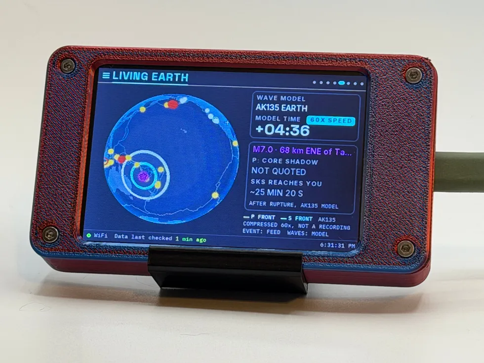
Seismic Sentinel also headlines the gift guide for geology buffs & earth science fans, if you happen to be shopping for one.
MORE LAB NOTES
- How to Choose a Desktop Flight Tracker: 5 Questions to Ask
- What Is a Starlink Train? The String of Lights, Explained
- Weather Watch vs. Warning vs. Advisory: The Severity Ladder
- The Board Inside Every PlankLabs Gadget
- The Printers Behind the Shells: a Flashforge AD5X and a Bambu Lab X2D
- Arduino: The Workbench My Firmware Is Built On
- How the Outdoor Score Works: One Honest Number for “Should I Be Outside?”
- How to Read a Tide Chart (and Why Old Tide Clocks Drift)
- What Is ADS-B? How Flight Tracking Actually Works
- When Can You Actually See the ISS? Visibility Windows, Explained
- Is It Your WiFi or Your ISP? How to Tell in 60 Seconds